Across the fields
Introduction
The photograph on this page of Across the fields by Michael Dibb as part of the Geograph project.
The Geograph project started in 2005 with the aim of publishing, organising and preserving representative images for every square kilometre of Great Britain, Ireland and the Isle of Man.

There are currently over 7.5m images from over 14,400 individuals and you can help contribute to the project by visiting https://www.geograph.org.uk
Across the fields
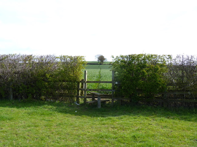
Image: © Michael Dibb Taken: 21 Apr 2012
After leaving Buckle Street from near Honeybourne Station, the footpath runs across open fields as it ascends Baylis's Hill.
Images are licensed for reuse under creativecommons.org/licenses/by-sa/2.0
Image Location


Leaflet Map data © OpenStreetMap
Latitude
52.103573
Longitude
-1.831326