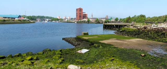
The former site of Denny's shipyard
Introduction
The photograph on this page of The former site of Denny's shipyard by Lairich Rig as part of the Geograph project.
The Geograph project started in 2005 with the aim of publishing, organising and preserving representative images for every square kilometre of Great Britain, Ireland and the Isle of Man.
There are currently over 7.5m images from over 14,400 individuals and you can help contribute to the project by visiting https://www.geograph.org.uk

Image: © Lairich Rig Taken: 25 May 2012
The foreground area of the shore was part of Denny's shipyard (the Leven Shipyard and Engine Works, operated by William Denny and Brothers). This northern part of the Leven Shipyard had earlier been part of the Victoria Yard (of Denny and Rankin), but the Leven Shipyard would be extended further to the south to include the Castlegreen area, so that it would reach as far as to the foot of Dumbarton Rock; compare Image In the background, Sandpoint (Image) is on the left, with a light-blue building on it. The Image are prominent above the centre of the photo, with Image to their left. To the right of the distillery's brick tower are the spire of Image and the top of the Image

