Pontypridd Register Office
Introduction
The photograph on this page of Pontypridd Register Office by Wayland Smith as part of the Geograph project.
The Geograph project started in 2005 with the aim of publishing, organising and preserving representative images for every square kilometre of Great Britain, Ireland and the Isle of Man.

There are currently over 7.5m images from over 14,400 individuals and you can help contribute to the project by visiting https://www.geograph.org.uk
Pontypridd Register Office
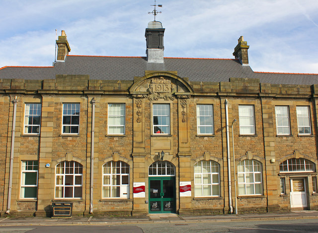
Image: © Wayland Smith Taken: 5 Nov 2011
Built in 1913 from coursed rock-faced stone.
Images are licensed for reuse under creativecommons.org/licenses/by-sa/2.0
Image Location
Latitude
51.599262
Longitude
-3.342815