Field in the Drone valley
Introduction
The photograph on this page of Field in the Drone valley by Derek Harper as part of the Geograph project.
The Geograph project started in 2005 with the aim of publishing, organising and preserving representative images for every square kilometre of Great Britain, Ireland and the Isle of Man.

There are currently over 7.5m images from over 14,400 individuals and you can help contribute to the project by visiting https://www.geograph.org.uk
Field in the Drone valley
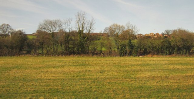
Image: © Derek Harper Taken: 6 Apr 2012
Seen from a train on the railway line southeast of Dronfield. The nearest line of trees hide the B6057. Up the hill are the fringes of housing estates at Hallowes.
Images are licensed for reuse under creativecommons.org/licenses/by-sa/2.0
Image Location
Latitude
53.295008
Longitude
-1.453854