Braich Garw
Introduction
The photograph on this page of Braich Garw by Nigel Callaghan as part of the Geograph project.
The Geograph project started in 2005 with the aim of publishing, organising and preserving representative images for every square kilometre of Great Britain, Ireland and the Isle of Man.

There are currently over 7.5m images from over 14,400 individuals and you can help contribute to the project by visiting https://www.geograph.org.uk
Braich Garw
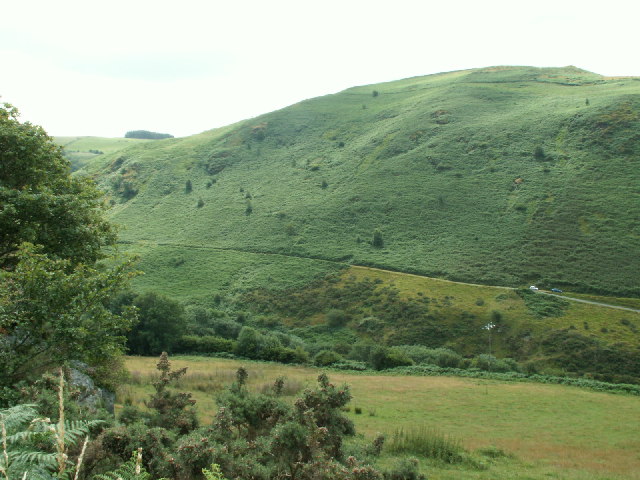
Image: © Nigel Callaghan Taken: 23 Jul 2005
Just East of Talybont. The hillside seems to be heavily covered with bracken. Looking S.
Images are licensed for reuse under creativecommons.org/licenses/by-sa/2.0
Image Location
Latitude
52.47805
Longitude
-3.967108