Farm track towards Shooters Lea Farm
Introduction
The photograph on this page of Farm track towards Shooters Lea Farm by Andrew Hill as part of the Geograph project.
The Geograph project started in 2005 with the aim of publishing, organising and preserving representative images for every square kilometre of Great Britain, Ireland and the Isle of Man.

There are currently over 7.5m images from over 14,400 individuals and you can help contribute to the project by visiting https://www.geograph.org.uk
Farm track towards Shooters Lea Farm
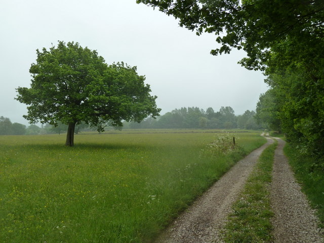
Image: © Andrew Hill Taken: 2 Jun 2012
The track is also a public right of way, with a path around the edge of the farm buildings (out of sight among the trees ahead).
Images are licensed for reuse under creativecommons.org/licenses/by-sa/2.0
Image Location
Latitude
53.180286
Longitude
-1.53297