Walled-in entrance on Highfield Lane
Introduction
The photograph on this page of Walled-in entrance on Highfield Lane by Roger Templeman as part of the Geograph project.
The Geograph project started in 2005 with the aim of publishing, organising and preserving representative images for every square kilometre of Great Britain, Ireland and the Isle of Man.

There are currently over 7.5m images from over 14,400 individuals and you can help contribute to the project by visiting https://www.geograph.org.uk
Walled-in entrance on Highfield Lane
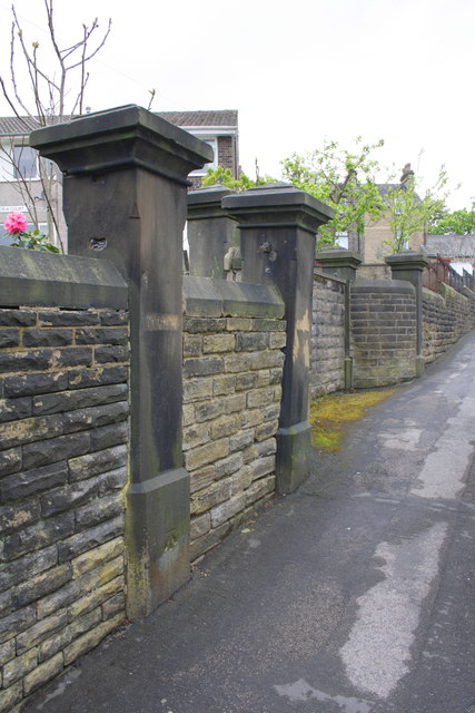
Image: © Roger Templeman Taken: 19 May 2012
Old maps show this was the entrance to a cottage hospital: now there is a new housing development, Victoria Court, on the site. The near gatepost has an OS benchmark Image near its base.
Images are licensed for reuse under creativecommons.org/licenses/by-sa/2.0
Image Location
Latitude
53.87013
Longitude
-1.917689