Arable field at Old Lyham
Introduction
The photograph on this page of Arable field at Old Lyham by Graham Robson as part of the Geograph project.
The Geograph project started in 2005 with the aim of publishing, organising and preserving representative images for every square kilometre of Great Britain, Ireland and the Isle of Man.

There are currently over 7.5m images from over 14,400 individuals and you can help contribute to the project by visiting https://www.geograph.org.uk
Arable field at Old Lyham
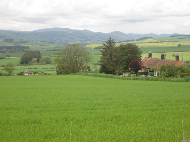
Image: © Graham Robson Taken: 3 Jun 2012
Looking across an arable field at Old Lyham with a pair of semi detached cottages at Old Lyham visible on the right. The northern end of the Cheviot Hills can be seen across the fieldscape to the west.
Images are licensed for reuse under creativecommons.org/licenses/by-sa/2.0
Image Location
Latitude
55.572079
Longitude
-1.893086