Paths at Branscombe
Introduction
The photograph on this page of Paths at Branscombe by Derek Harper as part of the Geograph project.
The Geograph project started in 2005 with the aim of publishing, organising and preserving representative images for every square kilometre of Great Britain, Ireland and the Isle of Man.

There are currently over 7.5m images from over 14,400 individuals and you can help contribute to the project by visiting https://www.geograph.org.uk
Paths at Branscombe
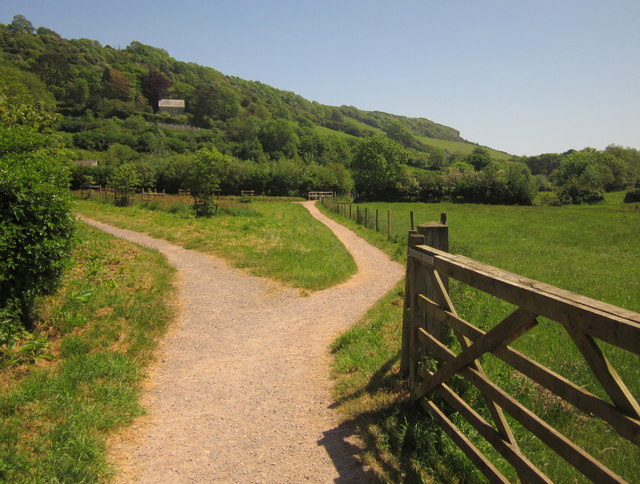
Image: © Derek Harper Taken: 29 May 2012
Branscombe Footpath 3 is the path leading into the centre of the image, crossing the little stream from the Vicarage valley at the footbridge. On the left is the path shown in Image looking in the other direction. Behind is the steep Stockham's Hill, forming the eastern side of the valley running down to the sea at Branscombe Mouth.
Images are licensed for reuse under creativecommons.org/licenses/by-sa/2.0
Image Location
Latitude
50.691653
Longitude
-3.130268