View south from 'The Fortress', Whitehills
Introduction
The photograph on this page of View south from 'The Fortress', Whitehills by Andrew Curtis as part of the Geograph project.
The Geograph project started in 2005 with the aim of publishing, organising and preserving representative images for every square kilometre of Great Britain, Ireland and the Isle of Man.

There are currently over 7.5m images from over 14,400 individuals and you can help contribute to the project by visiting https://www.geograph.org.uk
View south from 'The Fortress', Whitehills
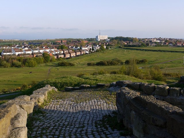
Image: © Andrew Curtis Taken: 20 May 2012
Branching routes of former waggonways can be seen across the reclaimed land ahead. The big building in the distance is the Refuge Disposal Works in Wreckenton.
Images are licensed for reuse under creativecommons.org/licenses/by-sa/2.0
Image Location
Latitude
54.934086
Longitude
-1.567508