Rolling farming landscape
Introduction
The photograph on this page of Rolling farming landscape by Bob Forrest as part of the Geograph project.
The Geograph project started in 2005 with the aim of publishing, organising and preserving representative images for every square kilometre of Great Britain, Ireland and the Isle of Man.

There are currently over 7.5m images from over 14,400 individuals and you can help contribute to the project by visiting https://www.geograph.org.uk
Rolling farming landscape
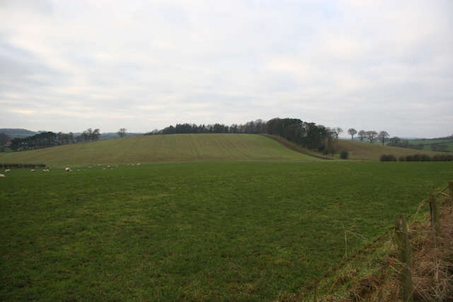
Image: © Bob Forrest Taken: 23 Dec 2006
The rolling nature of the landscape here could be the result of boulder clay being smoothed into drumlin-like mounds as the ice retreated from the Ayrshire plain. Ice pushed in at different times from the Loch Doon region to the south and from the Firth of Clyde to the west.
Images are licensed for reuse under creativecommons.org/licenses/by-sa/2.0
Image Location
Latitude
55.51294
Longitude
-4.413463