Bridge Way from the Leisure Centre turn
Introduction
The photograph on this page of Bridge Way from the Leisure Centre turn by Robin Stott as part of the Geograph project.
The Geograph project started in 2005 with the aim of publishing, organising and preserving representative images for every square kilometre of Great Britain, Ireland and the Isle of Man.

There are currently over 7.5m images from over 14,400 individuals and you can help contribute to the project by visiting https://www.geograph.org.uk
Bridge Way from the Leisure Centre turn
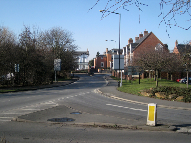
Image: © Robin Stott Taken: 11 Feb 2012
An unusually traffic-free moment on Bridge Way, which leads from the A439 Warwick Road to the A3400 Bridgefoot southern entrance to the town centre. Below the sign to the left is an exit from a coach park, although coaches also park beyond the Leisure Centre, behind the camera.
Images are licensed for reuse under creativecommons.org/licenses/by-sa/2.0
Image Location
Latitude
52.19502
Longitude
-1.7018