Nottingham - NG1 (Meadows)
Introduction
The photograph on this page of Nottingham - NG1 (Meadows) by David Hallam-Jones as part of the Geograph project.
The Geograph project started in 2005 with the aim of publishing, organising and preserving representative images for every square kilometre of Great Britain, Ireland and the Isle of Man.

There are currently over 7.5m images from over 14,400 individuals and you can help contribute to the project by visiting https://www.geograph.org.uk
Nottingham - NG1 (Meadows)
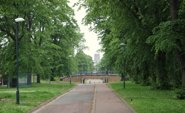
Image: © David Hallam-Jones Taken: 3 Jun 2012
A view along Queen's Walk - in the direction of the city centre - cuts through a housing estate, albeit not visible here. This joint footpath and cycle track joins Meadows Way, in the vicinity of the railway station, in approximately 1.25 miles (2 kms).
Images are licensed for reuse under creativecommons.org/licenses/by-sa/2.0
Image Location
Latitude
52.940241
Longitude
-1.152692