Mare Lane
Introduction
The photograph on this page of Mare Lane by Derek Harper as part of the Geograph project.
The Geograph project started in 2005 with the aim of publishing, organising and preserving representative images for every square kilometre of Great Britain, Ireland and the Isle of Man.

There are currently over 7.5m images from over 14,400 individuals and you can help contribute to the project by visiting https://www.geograph.org.uk
Mare Lane
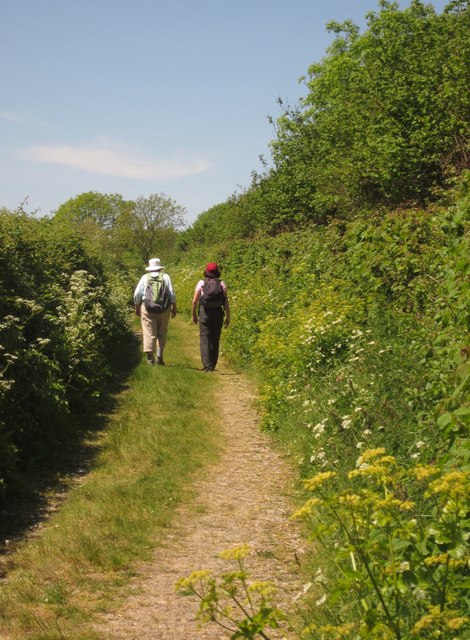
Image: © Derek Harper Taken: 29 May 2012
After the stiff climb shown in Image, the green lane to Branscombe levels out.
Images are licensed for reuse under creativecommons.org/licenses/by-sa/2.0
Image Location
Latitude
50.697489
Longitude
-3.103081