Wetherley Lodge
Introduction
The photograph on this page of Wetherley Lodge by Nigel Mykura as part of the Geograph project.
The Geograph project started in 2005 with the aim of publishing, organising and preserving representative images for every square kilometre of Great Britain, Ireland and the Isle of Man.

There are currently over 7.5m images from over 14,400 individuals and you can help contribute to the project by visiting https://www.geograph.org.uk
Wetherley Lodge
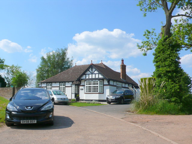
Image: © Nigel Mykura Taken: 27 May 2012
This lodge house may have been connected with Weston Hall but it is on the opposite side of the B4453.It is more likely to have been a lodge for New House just to the north west.
Images are licensed for reuse under creativecommons.org/licenses/by-sa/2.0
Image Location
Latitude
52.321175
Longitude
-1.47516