The Bull at Weston under Wetherley
Introduction
The photograph on this page of The Bull at Weston under Wetherley by Nigel Mykura as part of the Geograph project.
The Geograph project started in 2005 with the aim of publishing, organising and preserving representative images for every square kilometre of Great Britain, Ireland and the Isle of Man.

There are currently over 7.5m images from over 14,400 individuals and you can help contribute to the project by visiting https://www.geograph.org.uk
The Bull at Weston under Wetherley
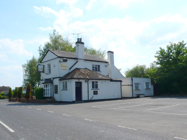
Image: © Nigel Mykura Taken: 27 May 2012
Yet another of the country pubs that has closed down as the number of people drinking in such establishments declines. This one belongs to Abbot Greene King Ales. The inn sign was badly faded or had been deliberately removed.
Images are licensed for reuse under creativecommons.org/licenses/by-sa/2.0
Image Location
Latitude
52.32255
Longitude
-1.461059