Pond, Windy Nook Nature Park
Introduction
The photograph on this page of Pond, Windy Nook Nature Park by Andrew Curtis as part of the Geograph project.
The Geograph project started in 2005 with the aim of publishing, organising and preserving representative images for every square kilometre of Great Britain, Ireland and the Isle of Man.

There are currently over 7.5m images from over 14,400 individuals and you can help contribute to the project by visiting https://www.geograph.org.uk
Pond, Windy Nook Nature Park
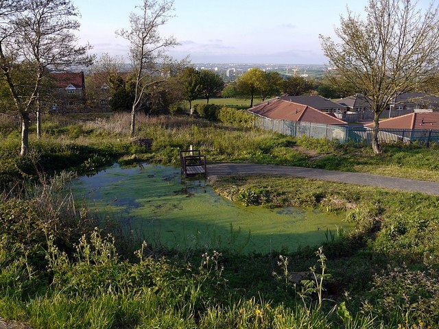
Image: © Andrew Curtis Taken: 20 May 2012
"The Windy Nook Nature Park project is a partnership between Gateshead Metropolitan Borough Council and the Conservation Volunteers. It began in August 1981. The project is designed to make the land suitable for different species of plant and wild life which would not normally be seen in an urban area. covers about two hectares, and is on land which used to have houses built on it. Many of the people who lived on this site would have worked in the quarry or pit which were only a short distance away." This account was submitted to the BBC Domesday Project in 1986 http://www.bbc.co.uk/history/domesday/dblock/GB-424000-558000/page/13 The park provides spectacular panoramic views of Tyneside's economic heartland and the east coast beyond.
Images are licensed for reuse under creativecommons.org/licenses/by-sa/2.0
Image Location
Latitude
54.942108
Longitude
-1.574446