Railway Embankment
Introduction
The photograph on this page of Railway Embankment by Chris McLean as part of the Geograph project.
The Geograph project started in 2005 with the aim of publishing, organising and preserving representative images for every square kilometre of Great Britain, Ireland and the Isle of Man.

There are currently over 7.5m images from over 14,400 individuals and you can help contribute to the project by visiting https://www.geograph.org.uk
Railway Embankment
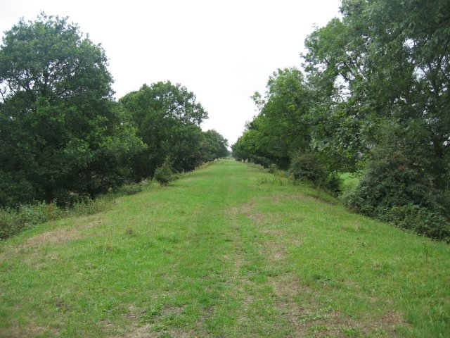
Image: © Chris McLean Taken: 20 Aug 2006
The old path of the railway which ran north from here into Thorner. This is now a public footpath which runs from Thorner south, over the A64 and all the way to Barwick In Elmet.
Images are licensed for reuse under creativecommons.org/licenses/by-sa/2.0
Image Location


Leaflet Map data © OpenStreetMap
Latitude
53.850388
Longitude
-1.431453