River Whitting, Old Whittington
Introduction
The photograph on this page of River Whitting, Old Whittington by Jonathan Clitheroe as part of the Geograph project.
The Geograph project started in 2005 with the aim of publishing, organising and preserving representative images for every square kilometre of Great Britain, Ireland and the Isle of Man.

There are currently over 7.5m images from over 14,400 individuals and you can help contribute to the project by visiting https://www.geograph.org.uk
River Whitting, Old Whittington
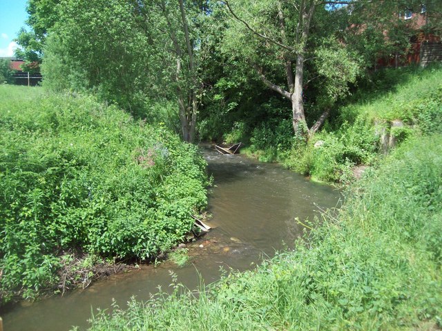
Image: © Jonathan Clitheroe Taken: 4 Jun 2012
Looking upstream from a spot near the bottom of Swanwick Street. A Shire Horse was leisurely patrolling the riverbank footpath on this fine afternoon.
Images are licensed for reuse under creativecommons.org/licenses/by-sa/2.0
Image Location
Latitude
53.266945
Longitude
-1.430822