Dyke and fence variation
Introduction
The photograph on this page of Dyke and fence variation by John Haynes as part of the Geograph project.
The Geograph project started in 2005 with the aim of publishing, organising and preserving representative images for every square kilometre of Great Britain, Ireland and the Isle of Man.

There are currently over 7.5m images from over 14,400 individuals and you can help contribute to the project by visiting https://www.geograph.org.uk
Dyke and fence variation
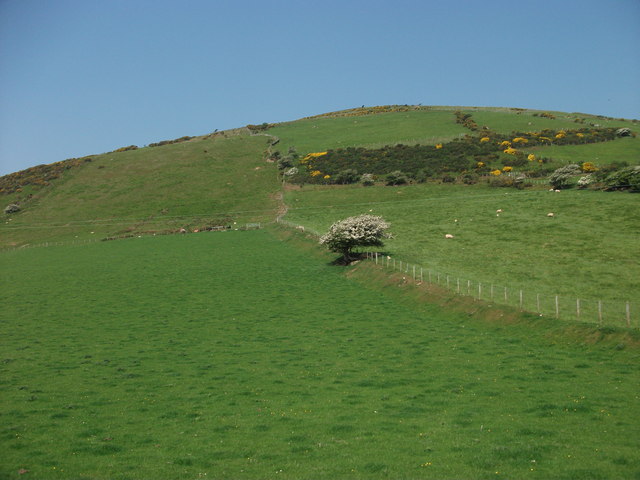
Image: © John Haynes Taken: 25 May 2012
I would love to know why this fence is such a mess, probably something to do with historic ownership.
Images are licensed for reuse under creativecommons.org/licenses/by-sa/2.0
Image Location
Latitude
52.614944
Longitude
-4.095404