Black Horse Lane
Introduction
The photograph on this page of Black Horse Lane by Bikeboy as part of the Geograph project.
The Geograph project started in 2005 with the aim of publishing, organising and preserving representative images for every square kilometre of Great Britain, Ireland and the Isle of Man.

There are currently over 7.5m images from over 14,400 individuals and you can help contribute to the project by visiting https://www.geograph.org.uk
Black Horse Lane
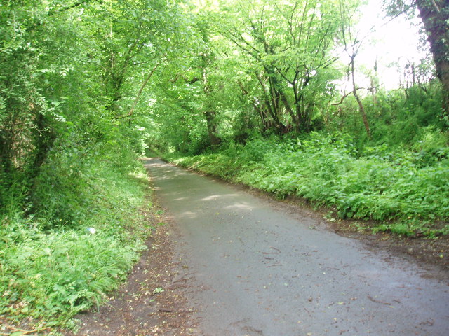
Image: © Bikeboy Taken: 4 Jun 2012
The lane is surrounded by very deep and ancient banks. There are mature oak trees of at least 200 years in the banks, showing that they are not of recent construction.
Images are licensed for reuse under creativecommons.org/licenses/by-sa/2.0
Image Location
Latitude
51.701635
Longitude
-0.238299