Parish boundary between Gotherington and Bishop's Cleeve
Introduction
The photograph on this page of Parish boundary between Gotherington and Bishop's Cleeve by Liz Stone as part of the Geograph project.
The Geograph project started in 2005 with the aim of publishing, organising and preserving representative images for every square kilometre of Great Britain, Ireland and the Isle of Man.

There are currently over 7.5m images from over 14,400 individuals and you can help contribute to the project by visiting https://www.geograph.org.uk
Parish boundary between Gotherington and Bishop's Cleeve
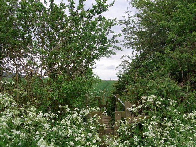
Image: © Liz Stone Taken: 4 Jun 2012
The ditch forms the boundary. The church of Bishop's Cleeve, visible on the horizon, is in square SO9627.
Images are licensed for reuse under creativecommons.org/licenses/by-sa/2.0
Image Location
Latitude
51.958209
Longitude
-2.05991