Coldharbour
Introduction
The photograph on this page of Coldharbour by Derek Harper as part of the Geograph project.
The Geograph project started in 2005 with the aim of publishing, organising and preserving representative images for every square kilometre of Great Britain, Ireland and the Isle of Man.

There are currently over 7.5m images from over 14,400 individuals and you can help contribute to the project by visiting https://www.geograph.org.uk
Coldharbour
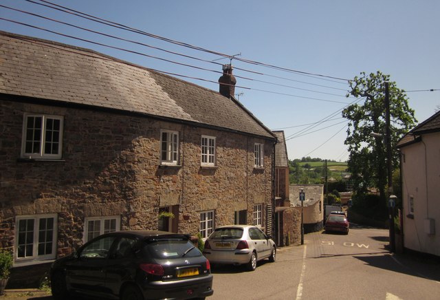
Image: © Derek Harper Taken: 26 May 2012
The top of the street shown in Image, seen from the edge of the B road. The angle of the houses on the left forms a triangular square here, if that is not self-contradictory.
Images are licensed for reuse under creativecommons.org/licenses/by-sa/2.0
Image Location
Latitude
50.903888
Longitude
-3.334368