Nottingham - NG11 (Wilford Village)
Introduction
The photograph on this page of Nottingham - NG11 (Wilford Village) by David Hallam-Jones as part of the Geograph project.
The Geograph project started in 2005 with the aim of publishing, organising and preserving representative images for every square kilometre of Great Britain, Ireland and the Isle of Man.

There are currently over 7.5m images from over 14,400 individuals and you can help contribute to the project by visiting https://www.geograph.org.uk
Nottingham - NG11 (Wilford Village)
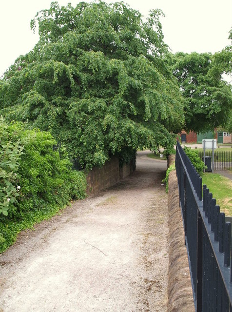
Image: © David Hallam-Jones Taken: 2 Jun 2012
The hump-backed footpath that links the top of the steps that lead up from the River Trent with the St Wilfrid's Church car park. Two overspill cemeteries have been created over time, a short distance away from the original graveyard and these are situated one on either side of this path.
Images are licensed for reuse under creativecommons.org/licenses/by-sa/2.0
Image Location
Latitude
52.934084
Longitude
-1.159209