Footpath Sign in Honor End Lane
Introduction
The photograph on this page of Footpath Sign in Honor End Lane by David Hillas as part of the Geograph project.
The Geograph project started in 2005 with the aim of publishing, organising and preserving representative images for every square kilometre of Great Britain, Ireland and the Isle of Man.

There are currently over 7.5m images from over 14,400 individuals and you can help contribute to the project by visiting https://www.geograph.org.uk
Footpath Sign in Honor End Lane
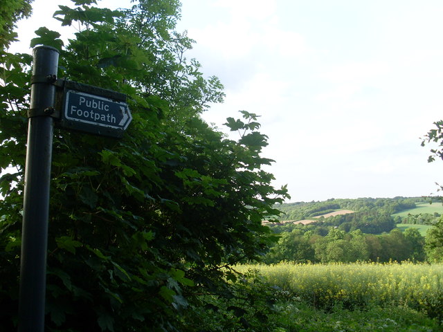
Image: © David Hillas Taken: 30 May 2012
This photo shows a public footpath sign in Honor End Lane near the John Hampden Monument. It points to the footpath which goes to the North of Lodge Wood then to Hampden Bottom. The field in the photo has oilseed rape growing in it.
Images are licensed for reuse under creativecommons.org/licenses/by-sa/2.0
Image Location
Latitude
51.70985
Longitude
-0.753539