Road closed to Bo Peep car park on the South Downs Way
Introduction
The photograph on this page of Road closed to Bo Peep car park on the South Downs Way by Dave Spicer as part of the Geograph project.
The Geograph project started in 2005 with the aim of publishing, organising and preserving representative images for every square kilometre of Great Britain, Ireland and the Isle of Man.

There are currently over 7.5m images from over 14,400 individuals and you can help contribute to the project by visiting https://www.geograph.org.uk
Road closed to Bo Peep car park on the South Downs Way
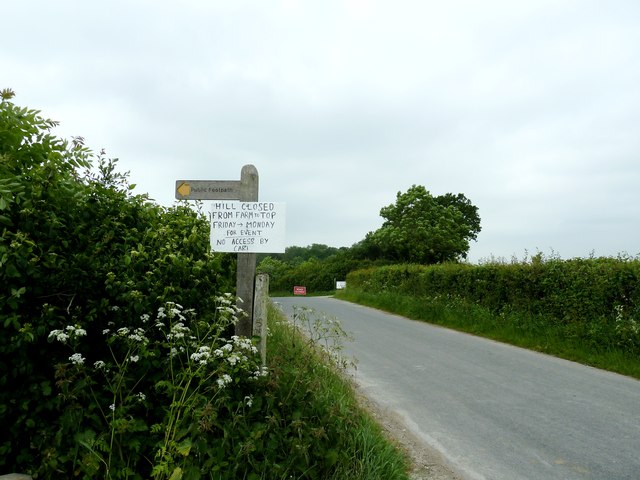
Image: © Dave Spicer Taken: 2 Jun 2012
Unfortunately this meant a detour to the southern end of my walk to find a parking spot. This reason for the closure was a downhill long board skating event.
Images are licensed for reuse under creativecommons.org/licenses/by-sa/2.0
Image Location
Latitude
50.837966
Longitude
0.138735