A271 in Boreham Street
Introduction
The photograph on this page of A271 in Boreham Street by Chris Heaton as part of the Geograph project.
The Geograph project started in 2005 with the aim of publishing, organising and preserving representative images for every square kilometre of Great Britain, Ireland and the Isle of Man.

There are currently over 7.5m images from over 14,400 individuals and you can help contribute to the project by visiting https://www.geograph.org.uk
A271 in Boreham Street
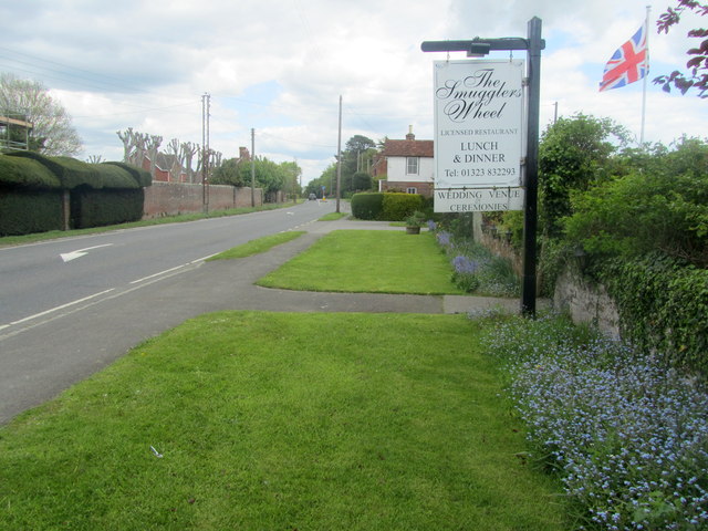
Image: © Chris Heaton Taken: 16 May 2012
The village is arranged on both sides of the A271, with the pavement adopted by the 1066 Country Walk long distance footpath.
Images are licensed for reuse under creativecommons.org/licenses/by-sa/2.0
Image Location
Latitude
50.877396
Longitude
0.369553