Nottingham - NG11 (Wilford Village)
Introduction
The photograph on this page of Nottingham - NG11 (Wilford Village) by David Hallam-Jones as part of the Geograph project.
The Geograph project started in 2005 with the aim of publishing, organising and preserving representative images for every square kilometre of Great Britain, Ireland and the Isle of Man.

There are currently over 7.5m images from over 14,400 individuals and you can help contribute to the project by visiting https://www.geograph.org.uk
Nottingham - NG11 (Wilford Village)
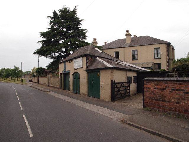
Image: © David Hallam-Jones Taken: 2 Jun 2012
An elderly, defunct garage at No.89a, Main Road. The matching decorated rendering of the house behind it (No.89) seems to suggest dual ownership ?
Images are licensed for reuse under creativecommons.org/licenses/by-sa/2.0
Image Location
Latitude
52.932375
Longitude
-1.158945