Cripps Avenue
Introduction
The photograph on this page of Cripps Avenue by Simon Carey as part of the Geograph project.
The Geograph project started in 2005 with the aim of publishing, organising and preserving representative images for every square kilometre of Great Britain, Ireland and the Isle of Man.

There are currently over 7.5m images from over 14,400 individuals and you can help contribute to the project by visiting https://www.geograph.org.uk
Cripps Avenue
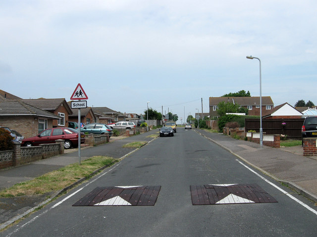
Image: © Simon Carey Taken: 2 Jun 2012
One of the original roads of the town that ran north from Glynn Road to Telscombe Road. When the northern end of Peacehaven was developed a new access route, Pelham Rise, was built which subsequently took over the northern end of this road up to Telscombe Road.
Images are licensed for reuse under creativecommons.org/licenses/by-sa/2.0
Image Location
Latitude
50.803518
Longitude
0.007297