Glynn Road
Introduction
The photograph on this page of Glynn Road by Simon Carey as part of the Geograph project.
The Geograph project started in 2005 with the aim of publishing, organising and preserving representative images for every square kilometre of Great Britain, Ireland and the Isle of Man.

There are currently over 7.5m images from over 14,400 individuals and you can help contribute to the project by visiting https://www.geograph.org.uk
Glynn Road
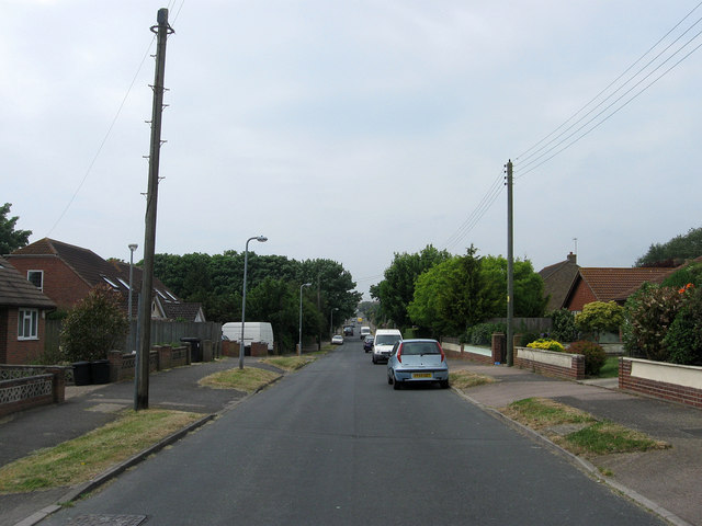
Image: © Simon Carey Taken: 2 Jun 2012
One of the original east-west roads that ran from Phyllis Avenue to what was planned to be the northern extension of Steyning Avenue that for many years was little more than an unmade track. Most of the northern edge of Peacehaven was developed from the late 1970s onwards made up of cul-de-sacs rather than straight avenues that left the eastern junction of this road with a new route, Pelham Rise.
Images are licensed for reuse under creativecommons.org/licenses/by-sa/2.0
Image Location
Latitude
50.80266
Longitude
0.004848