Business Units, Lower Hoddern Farm
Introduction
The photograph on this page of Business Units, Lower Hoddern Farm by Simon Carey as part of the Geograph project.
The Geograph project started in 2005 with the aim of publishing, organising and preserving representative images for every square kilometre of Great Britain, Ireland and the Isle of Man.

There are currently over 7.5m images from over 14,400 individuals and you can help contribute to the project by visiting https://www.geograph.org.uk
Business Units, Lower Hoddern Farm
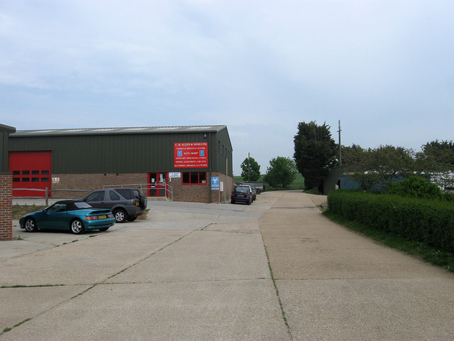
Image: © Simon Carey Taken: 2 Jun 2012
Viewed from the entrance off Pelham Rise. Lower Hoddern Farm lies beyond the trees to the right.
Images are licensed for reuse under creativecommons.org/licenses/by-sa/2.0
Image Location
Latitude
50.801943
Longitude
0.009927