Gallows Hill (1)
Introduction
The photograph on this page of Gallows Hill (1) by Simon Carey as part of the Geograph project.
The Geograph project started in 2005 with the aim of publishing, organising and preserving representative images for every square kilometre of Great Britain, Ireland and the Isle of Man.

There are currently over 7.5m images from over 14,400 individuals and you can help contribute to the project by visiting https://www.geograph.org.uk
Gallows Hill (1)
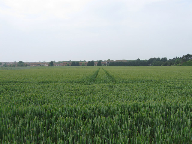
Image: © Simon Carey Taken: 2 Jun 2012
The name of the field according to Piddinghoe's 1843 tithe map. This is the southern end south of Image, the northern end running south of Lodge Hill. The estates of northern Peacehaven can be seen at the opposite end of the field.
Images are licensed for reuse under creativecommons.org/licenses/by-sa/2.0
Image Location
Latitude
50.799621
Longitude
0.008975