Loch Katrine Aqueduct
Introduction
The photograph on this page of Loch Katrine Aqueduct by Richard Webb as part of the Geograph project.
The Geograph project started in 2005 with the aim of publishing, organising and preserving representative images for every square kilometre of Great Britain, Ireland and the Isle of Man.

There are currently over 7.5m images from over 14,400 individuals and you can help contribute to the project by visiting https://www.geograph.org.uk
Loch Katrine Aqueduct
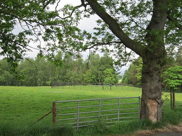
Image: © Richard Webb Taken: 1 Jun 2012
The long aqueduct which carries Glasgow's water supply from the Trossachs. The course can be seen by the ride in the woodland. Here it crosses a watershed between the Endrick and Kelvin systems.
Images are licensed for reuse under creativecommons.org/licenses/by-sa/2.0
Image Location
Latitude
56.052388
Longitude
-4.358087