Main drain heading towards the sea
Introduction
The photograph on this page of Main drain heading towards the sea by John Haynes as part of the Geograph project.
The Geograph project started in 2005 with the aim of publishing, organising and preserving representative images for every square kilometre of Great Britain, Ireland and the Isle of Man.

There are currently over 7.5m images from over 14,400 individuals and you can help contribute to the project by visiting https://www.geograph.org.uk
Main drain heading towards the sea
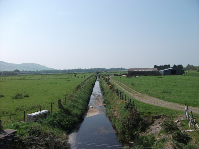
Image: © John Haynes Taken: 25 May 2012
This drain takes water from a large area of marshland producing high quality improved grassland. Image] Image] The modern farm buildings on the right are nameless.
Images are licensed for reuse under creativecommons.org/licenses/by-sa/2.0
Image Location


Leaflet Map data © OpenStreetMap
Latitude
52.611288
Longitude
-4.068051