Extension at Pen-y-sarn farmhouse
Introduction
The photograph on this page of Extension at Pen-y-sarn farmhouse by John Haynes as part of the Geograph project.
The Geograph project started in 2005 with the aim of publishing, organising and preserving representative images for every square kilometre of Great Britain, Ireland and the Isle of Man.

There are currently over 7.5m images from over 14,400 individuals and you can help contribute to the project by visiting https://www.geograph.org.uk
Extension at Pen-y-sarn farmhouse
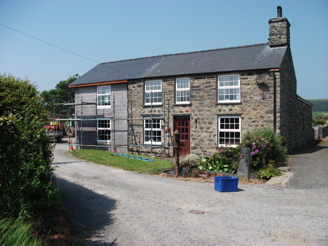
Image: © John Haynes Taken: 25 May 2012
This stone built farmhouse is being extended in thermalite blocks, I will be back to see how it is finished. Image]
Images are licensed for reuse under creativecommons.org/licenses/by-sa/2.0
Image Location


Leaflet Map data © OpenStreetMap
Latitude
52.611722
Longitude
-4.063788