Dairy roadside churn stand
Introduction
The photograph on this page of Dairy roadside churn stand by John Haynes as part of the Geograph project.
The Geograph project started in 2005 with the aim of publishing, organising and preserving representative images for every square kilometre of Great Britain, Ireland and the Isle of Man.

There are currently over 7.5m images from over 14,400 individuals and you can help contribute to the project by visiting https://www.geograph.org.uk
Dairy roadside churn stand
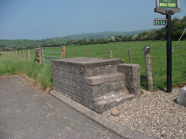
Image: © John Haynes Taken: 25 May 2012
This churn stand is a relatively modern brick built structure standing as a monument to times past, the modern B&B sign next to it indicates the changes to the farm in recent years. There also appears to be suckler rather than dairy cows in the fields. Image]
Images are licensed for reuse under creativecommons.org/licenses/by-sa/2.0
Image Location


Leaflet Map data © OpenStreetMap
Latitude
52.611733
Longitude
-4.063198