Kincardineshire coast path, Gourdon
Introduction
The photograph on this page of Kincardineshire coast path, Gourdon by Richard Webb as part of the Geograph project.
The Geograph project started in 2005 with the aim of publishing, organising and preserving representative images for every square kilometre of Great Britain, Ireland and the Isle of Man.

There are currently over 7.5m images from over 14,400 individuals and you can help contribute to the project by visiting https://www.geograph.org.uk
Kincardineshire coast path, Gourdon
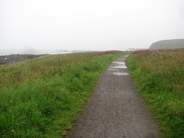
Image: © Richard Webb Taken: 2 Aug 2011
Approaching Gourdon on a wet evening. The coast path uses the trackbed of the Montrose and Bervie Railway here, and is reasonably well surfaced. Things get a bit rougher south of Gourdon, but it is a great route. This is a raised beach.
Images are licensed for reuse under creativecommons.org/licenses/by-sa/2.0
Image Location
Latitude
56.833227
Longitude
-2.276115