Nottingham - NG11 (Wilford Village)
Introduction
The photograph on this page of Nottingham - NG11 (Wilford Village) by David Hallam-Jones as part of the Geograph project.
The Geograph project started in 2005 with the aim of publishing, organising and preserving representative images for every square kilometre of Great Britain, Ireland and the Isle of Man.

There are currently over 7.5m images from over 14,400 individuals and you can help contribute to the project by visiting https://www.geograph.org.uk
Nottingham - NG11 (Wilford Village)
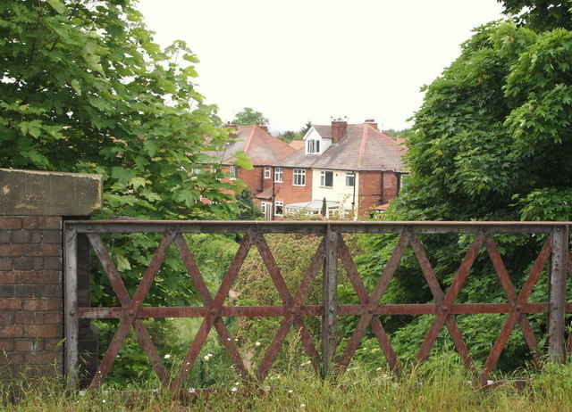
Image: © David Hallam-Jones Taken: 2 Jun 2012
This raised section of the former Great Central Main Line (GCML) railway provides a view of housing and allotments on Holly Ave and of Emmanuel School's playing fields (the latter being behind the photographer). This embankment is also part of the administrative boundary between Rushcliffe and Nottingham. This railway opened in 1899. It started at Annesley and ran southwards for 92 miles (147 km) passing through Nottingham’s Victoria railway station before striking southwards to reach Leicester Central station, passing through Loughborough en route. Most of the route was closed between 1966 and 1969 under the Beeching rationalisation plan. A rudimentary path exists along the former track although not easily accessed.
Images are licensed for reuse under creativecommons.org/licenses/by-sa/2.0
Image Location
Latitude
52.932523
Longitude
-1.154479