The A449 south-east of Stourport, Worcestershire
Introduction
The photograph on this page of The A449 south-east of Stourport, Worcestershire by Roger D Kidd as part of the Geograph project.
The Geograph project started in 2005 with the aim of publishing, organising and preserving representative images for every square kilometre of Great Britain, Ireland and the Isle of Man.

There are currently over 7.5m images from over 14,400 individuals and you can help contribute to the project by visiting https://www.geograph.org.uk
The A449 south-east of Stourport, Worcestershire
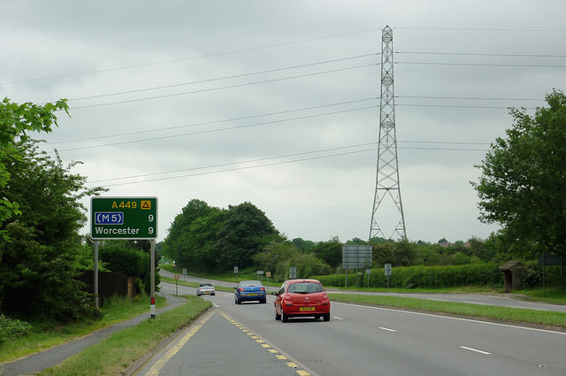
Image: © Roger D Kidd Taken: 29 May 2012
This dual carriageway section is near Crossway Green between Kidderminster and Worcester.
Images are licensed for reuse under creativecommons.org/licenses/by-sa/2.0
Image Location
Latitude
52.312105
Longitude
-2.232038