Roadside Cross on the B6318 Heavenfield.
Introduction
The photograph on this page of Roadside Cross on the B6318 Heavenfield. by Bill Henderson as part of the Geograph project.
The Geograph project started in 2005 with the aim of publishing, organising and preserving representative images for every square kilometre of Great Britain, Ireland and the Isle of Man.

There are currently over 7.5m images from over 14,400 individuals and you can help contribute to the project by visiting https://www.geograph.org.uk
Roadside Cross on the B6318 Heavenfield.
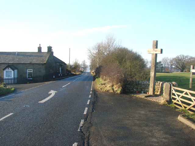
Image: © Bill Henderson Taken: 21 Dec 2006
This cross marks the site of the Battle of Heavenfield, the first battle for Christianity fought on British soil, sometime around 633ad - 635ad, between King Oswald of Northumbria and King Cadwallon of Gwynedd. Oswald was victorious and his victory resulted in the establishment of the monastery on Lindisfarne. The roadside cross was erected by local people in the 1930's to commemorate the Battle.
Images are licensed for reuse under creativecommons.org/licenses/by-sa/2.0
Image Location
Latitude
55.018203
Longitude
-2.101625