Towards Boddington Hill
Introduction
The photograph on this page of Towards Boddington Hill by Des Blenkinsopp as part of the Geograph project.
The Geograph project started in 2005 with the aim of publishing, organising and preserving representative images for every square kilometre of Great Britain, Ireland and the Isle of Man.

There are currently over 7.5m images from over 14,400 individuals and you can help contribute to the project by visiting https://www.geograph.org.uk
Towards Boddington Hill
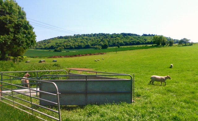
Image: © Des Blenkinsopp Taken: 27 May 2012
View from the Icknield Way path, I think. Wendover is criss crossed by so many paths it's hard to figure out which one you're on sometimes.
Images are licensed for reuse under creativecommons.org/licenses/by-sa/2.0
Image Location
Latitude
51.760554
Longitude
-0.735915