Kingston Bagpuize Business Park (New)
Introduction
The photograph on this page of Kingston Bagpuize Business Park (New) by Des Blenkinsopp as part of the Geograph project.
The Geograph project started in 2005 with the aim of publishing, organising and preserving representative images for every square kilometre of Great Britain, Ireland and the Isle of Man.

There are currently over 7.5m images from over 14,400 individuals and you can help contribute to the project by visiting https://www.geograph.org.uk
Kingston Bagpuize Business Park (New)
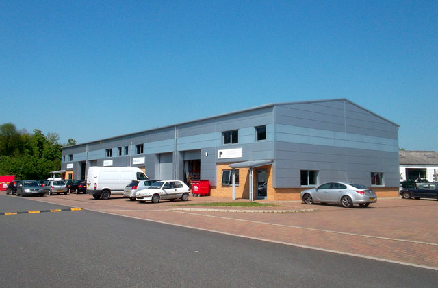
Image: © Des Blenkinsopp Taken: 22 May 2012
Like many old WW2 airfields RAF Kingston Bagpuize has become a business park. This is one of the modern units but behind here a row of the old 1940s round roof huts are still in use.
Images are licensed for reuse under creativecommons.org/licenses/by-sa/2.0
Image Location
Latitude
51.675777
Longitude
-1.410051