Washbourne Road, Wootton Bassett
Introduction
The photograph on this page of Washbourne Road, Wootton Bassett by Penny Mayes as part of the Geograph project.
The Geograph project started in 2005 with the aim of publishing, organising and preserving representative images for every square kilometre of Great Britain, Ireland and the Isle of Man.

There are currently over 7.5m images from over 14,400 individuals and you can help contribute to the project by visiting https://www.geograph.org.uk
Washbourne Road, Wootton Bassett
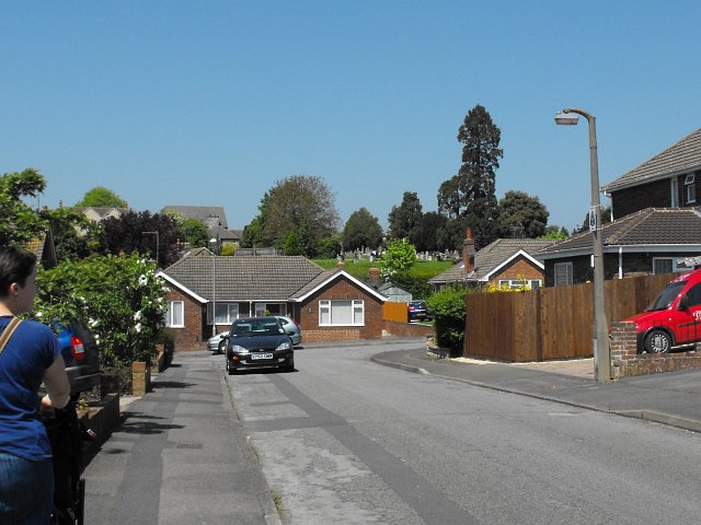
Image: © Penny Mayes Taken: 22 May 2012
Part of a fairly extensive housing development built in the 1960s. The nearby Noremarsh Junior School was built around the same time. Clarendon Drive is the road at the end and beyond that, on the right, is the town cemetery.
Images are licensed for reuse under creativecommons.org/licenses/by-sa/2.0
Image Location
Latitude
51.540905
Longitude
-1.898441