Site of old ferry crossing on the River Leven
Introduction
The photograph on this page of Site of old ferry crossing on the River Leven by Lairich Rig as part of the Geograph project.
The Geograph project started in 2005 with the aim of publishing, organising and preserving representative images for every square kilometre of Great Britain, Ireland and the Isle of Man.

There are currently over 7.5m images from over 14,400 individuals and you can help contribute to the project by visiting https://www.geograph.org.uk
Site of old ferry crossing on the River Leven
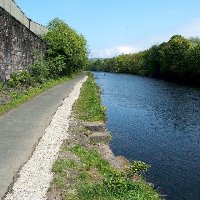
Image: © Lairich Rig Taken: 21 May 2012
The structure in the foreground, on the western bank of the River Leven, is a remnant of the ferry crossing that is depicted on the first- and second-edition OS maps (c.1860 and c.1898, respectively). See also Image, about a mile (straight-line distance) downriver from here.
Images are licensed for reuse under creativecommons.org/licenses/by-sa/2.0
Image Location
Latitude
55.992901
Longitude
-4.573194