Weir on the River Leven
Introduction
The photograph on this page of Weir on the River Leven by Lairich Rig as part of the Geograph project.
The Geograph project started in 2005 with the aim of publishing, organising and preserving representative images for every square kilometre of Great Britain, Ireland and the Isle of Man.

There are currently over 7.5m images from over 14,400 individuals and you can help contribute to the project by visiting https://www.geograph.org.uk
Weir on the River Leven
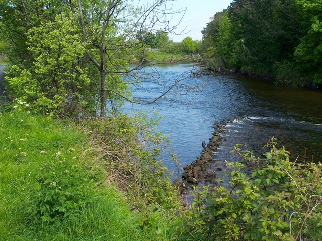
Image: © Lairich Rig Taken: 21 May 2012
The water level was lower than usual, making a number of such features visible along the river's course.
Images are licensed for reuse under creativecommons.org/licenses/by-sa/2.0
Image Location
Latitude
55.97674
Longitude
-4.580936