Luggie Water
Introduction
The photograph on this page of Luggie Water by Richard Webb as part of the Geograph project.
The Geograph project started in 2005 with the aim of publishing, organising and preserving representative images for every square kilometre of Great Britain, Ireland and the Isle of Man.

There are currently over 7.5m images from over 14,400 individuals and you can help contribute to the project by visiting https://www.geograph.org.uk
Luggie Water
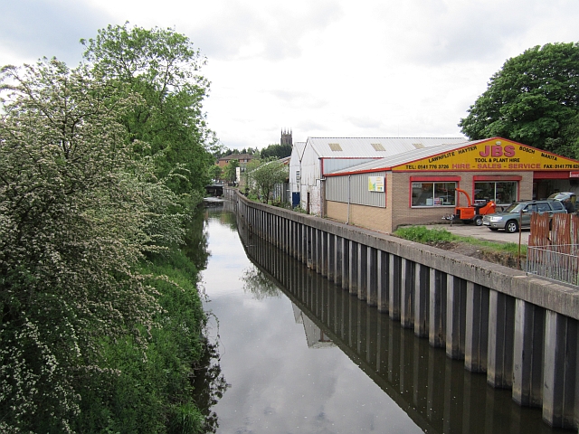
Image: © Richard Webb Taken: 1 Jun 2012
The river running through Kirkintilloch. The river naming is complex here. The two main feeders of Glasgow's Kelvin are the Glazert and Luggie. The Kelvin is somewhat smaller and joins the Glazert just upstream of its confluence with the Luggie. Image Like with the Forth/Teith to the north, the name sticks with the smaller river. There is a small industrial estate here.
Images are licensed for reuse under creativecommons.org/licenses/by-sa/2.0
Image Location
Latitude
55.941428
Longitude
-4.155007