Mark That Boundary
Introduction
The photograph on this page of Mark That Boundary by Des Blenkinsopp as part of the Geograph project.
The Geograph project started in 2005 with the aim of publishing, organising and preserving representative images for every square kilometre of Great Britain, Ireland and the Isle of Man.

There are currently over 7.5m images from over 14,400 individuals and you can help contribute to the project by visiting https://www.geograph.org.uk
Mark That Boundary
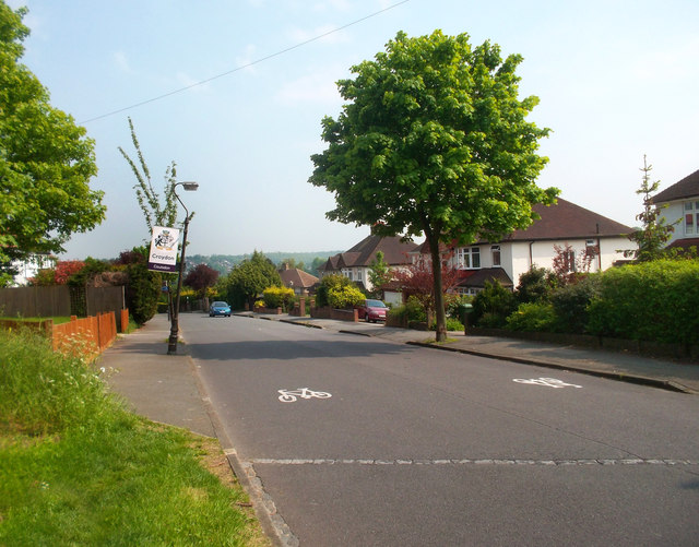
Image: © Des Blenkinsopp Taken: 23 May 2012
Not content with a notice or the usual change in tarmac colour, the boundary between the London Boroughs of Croydon and Sutton is marked here by a line of stone setts in the road. That lamp post is skewed that way, it's not my photography. (unlike the houses which lean the other way.....oh well...)
Images are licensed for reuse under creativecommons.org/licenses/by-sa/2.0
Image Location
Latitude
51.322669
Longitude
-0.149092