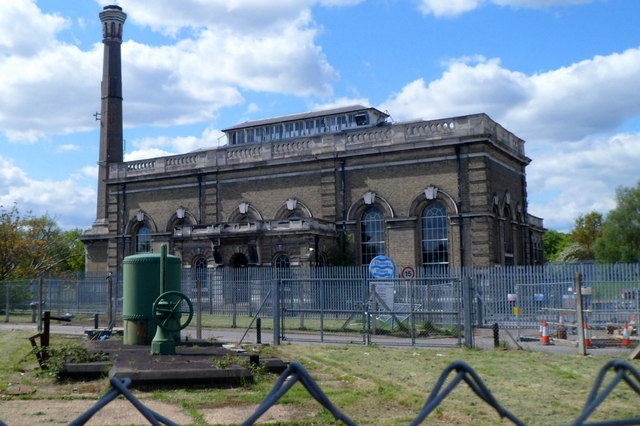
Cricklewood Pumping Station
Introduction
The photograph on this page of Cricklewood Pumping Station by Jaggery as part of the Geograph project.
The Geograph project started in 2005 with the aim of publishing, organising and preserving representative images for every square kilometre of Great Britain, Ireland and the Isle of Man.
There are currently over 7.5m images from over 14,400 individuals and you can help contribute to the project by visiting https://www.geograph.org.uk

Image: © Jaggery Taken: 12 May 2012
Viewed from a fence at the edge of St Michaels Road. Cricklewood Pumping Station was built in 1905 to supply water to London's north west suburbs at a time when most of the local residents obtained their water from rainwater cisterns or ponds. Although not in use since the station converted from steam power to electricity in the late 1950s, the 135 feet (41m) tall chimney remains a distinctive local landmark. http://www.geograph.org.uk/photo/2971844 to a closer view of the valve wheel and cylinder.

