Bridleway near Birchfield Farm
Introduction
The photograph on this page of Bridleway near Birchfield Farm by Derek Harper as part of the Geograph project.
The Geograph project started in 2005 with the aim of publishing, organising and preserving representative images for every square kilometre of Great Britain, Ireland and the Isle of Man.

There are currently over 7.5m images from over 14,400 individuals and you can help contribute to the project by visiting https://www.geograph.org.uk
Bridleway near Birchfield Farm
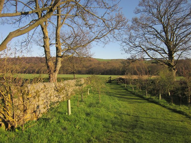
Image: © Derek Harper Taken: 5 Apr 2012
Bridleway 15 91/6/2 runs along this pleasant grassy track to the gate, and then crosses the field over the Nidd flood plain shown in Image, with an unnamed wood on the far bank
Images are licensed for reuse under creativecommons.org/licenses/by-sa/2.0
Image Location


Leaflet Map data © OpenStreetMap
Latitude
54.034654
Longitude
-1.678423