Farmland by the Nidd
Introduction
The photograph on this page of Farmland by the Nidd by Derek Harper as part of the Geograph project.
The Geograph project started in 2005 with the aim of publishing, organising and preserving representative images for every square kilometre of Great Britain, Ireland and the Isle of Man.

There are currently over 7.5m images from over 14,400 individuals and you can help contribute to the project by visiting https://www.geograph.org.uk
Farmland by the Nidd
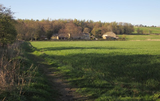
Image: © Derek Harper Taken: 5 Apr 2012
Taken just north of Image, with bridleway 15 91/6/2 crossing the flood plain of the river towards Birchfield Farm. The farmhouse http://list.english-heritage.org.uk/resultsingle.aspx?uid=1207451&searchtype=mapsearch and four adjacent structures are listed. Behind the farm is Tanpit Wood.
Images are licensed for reuse under creativecommons.org/licenses/by-sa/2.0
Image Location


Leaflet Map data © OpenStreetMap
Latitude
54.033933
Longitude
-1.677665